
Description
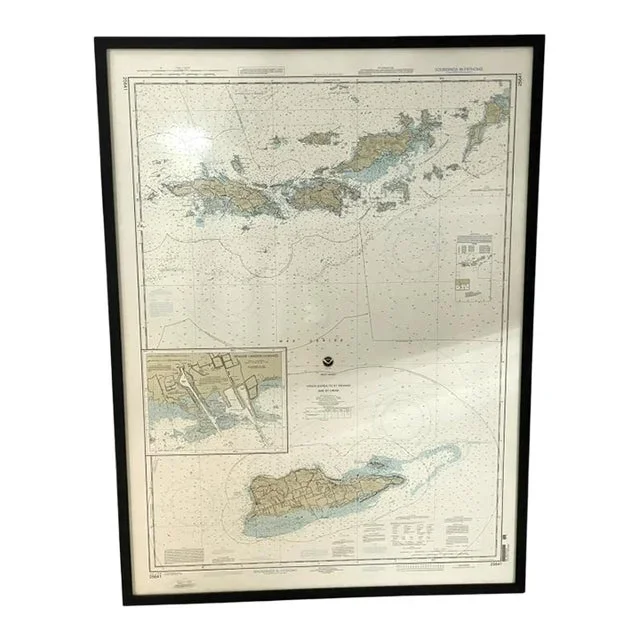
Virgin Gorda to St. Thomas and St. Croix. Nautical chart issued by NOAA, titled “Virgin Gorda to St. Thomas and St. Croix,” displaying soundings in fathoms. Features detailed coastlines, depth markings, and navigational info for the west indies. Presented in a sleek black frame, ready to hang. Impressive scale 1:100,000 at lat. 18°04’See
- Dimensions
- 36.5ʺW × 2ʺD × 50ʺH
- Styles
- Nautical
- Frame Type
- Framed
- Period
- Mid 20th Century
- Country of Origin
- Virgin Islands, U.S.
- Item Type
- Vintage, Antique or Pre-owned
Shop Sustainably with Chairish
- Materials
- Paper
- Condition
- Good Condition, Original Condition Unaltered, Some Imperfections
- Color
- Off-white
- Condition Notes
- Minor chipping to top of frame. Lightly used, with very light scratches, or minor cosmetic wear, but has no structural …moreMinor chipping to top of frame.Lightly used, with very light scratches, or minor cosmetic wear, but has no structural issues. Most antique and vintage items fit this condition.



Reviews
There are no reviews yet.